Welcome to Running River Campground!
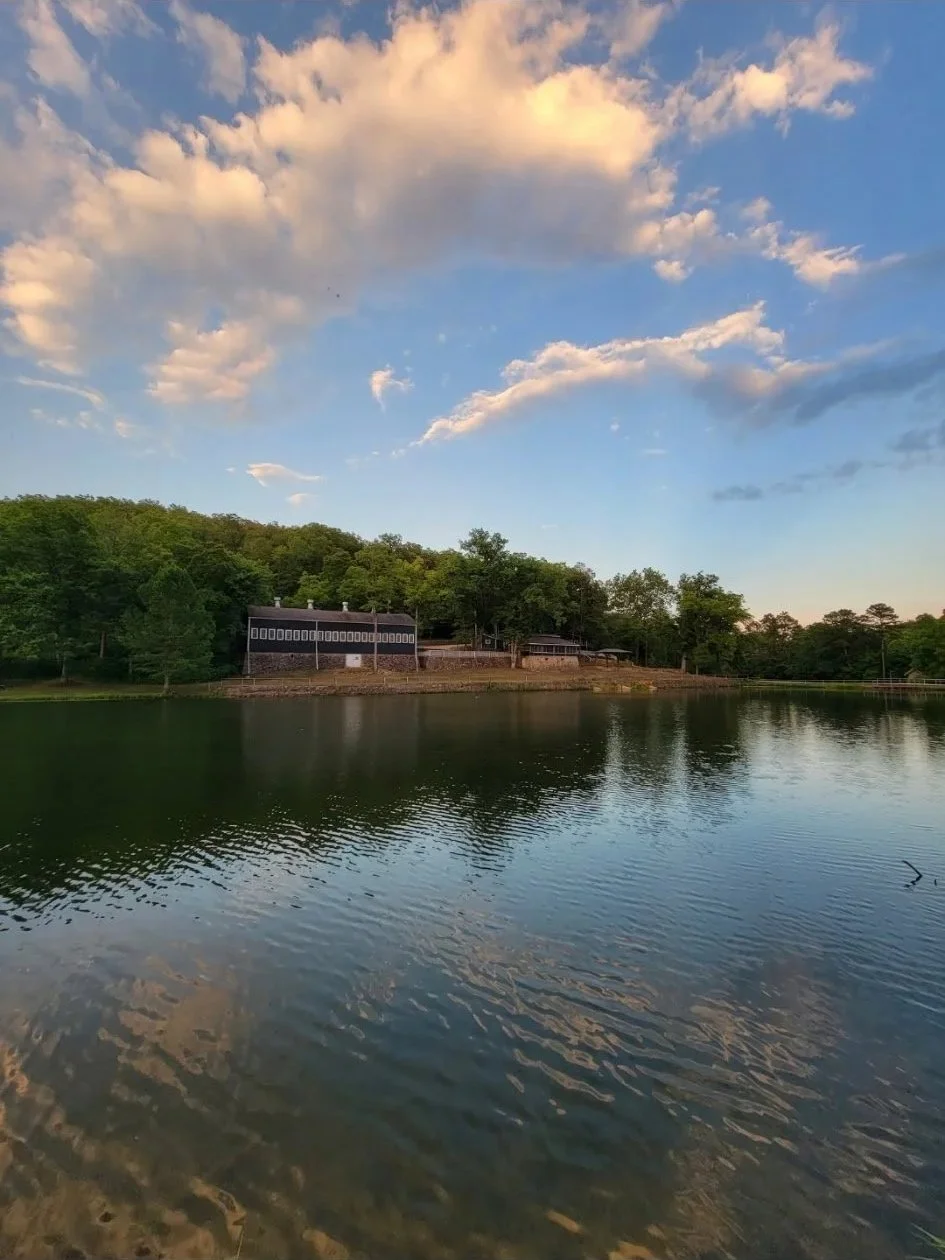
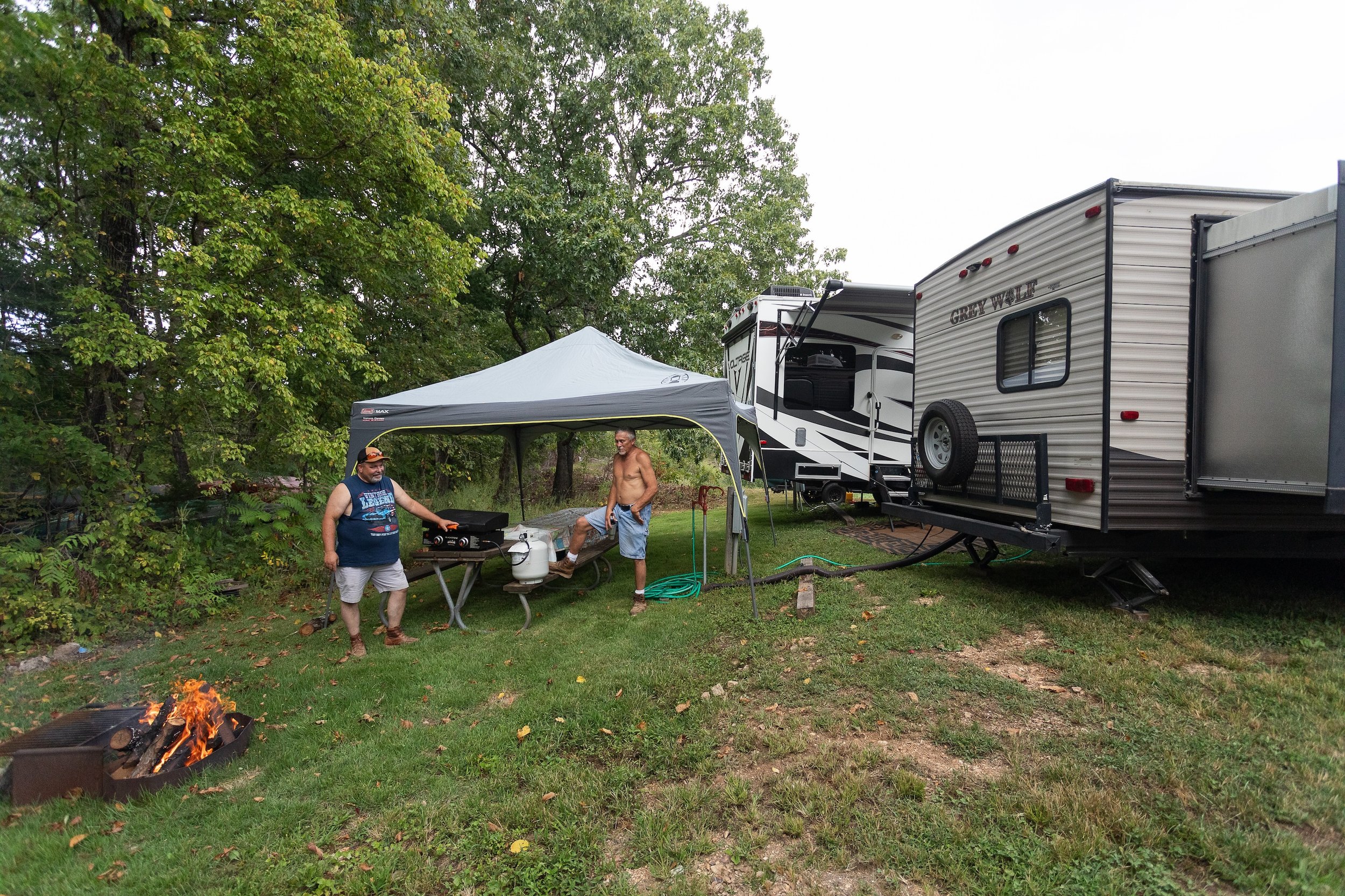
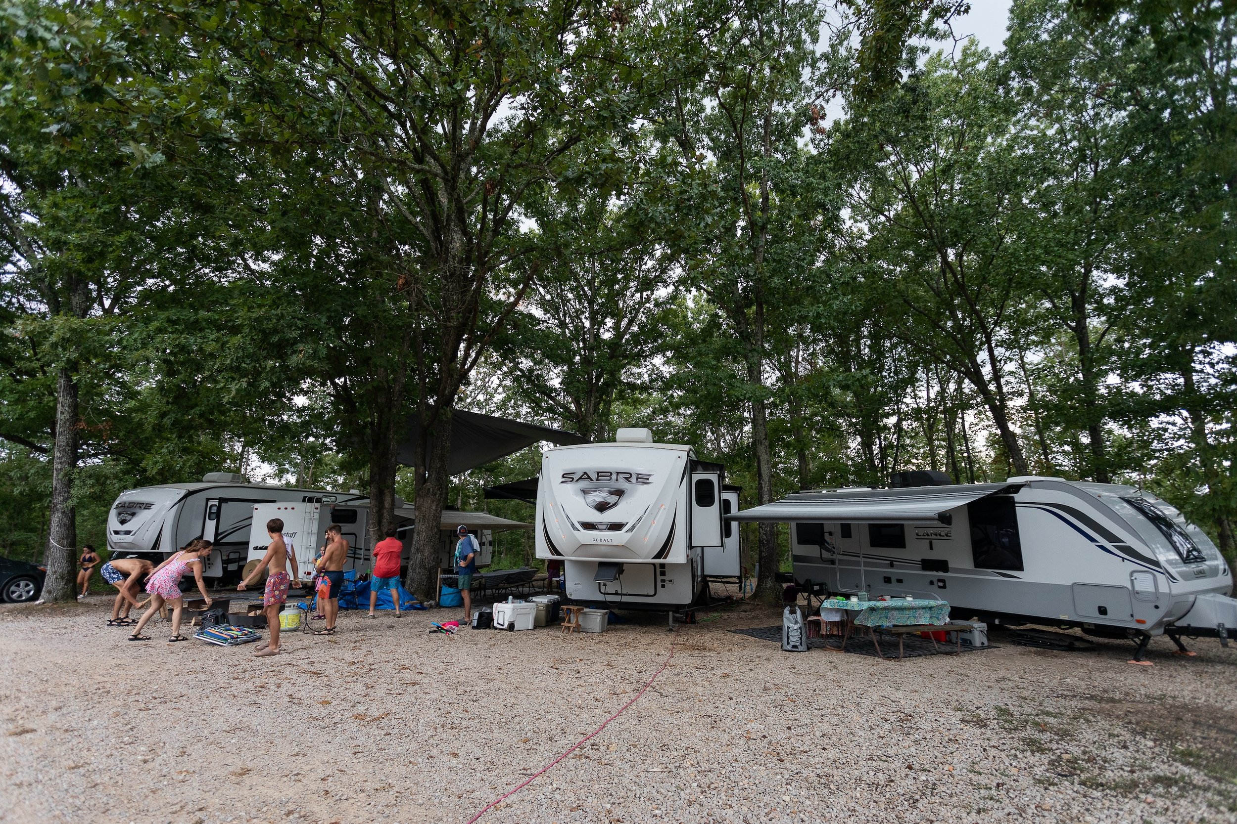
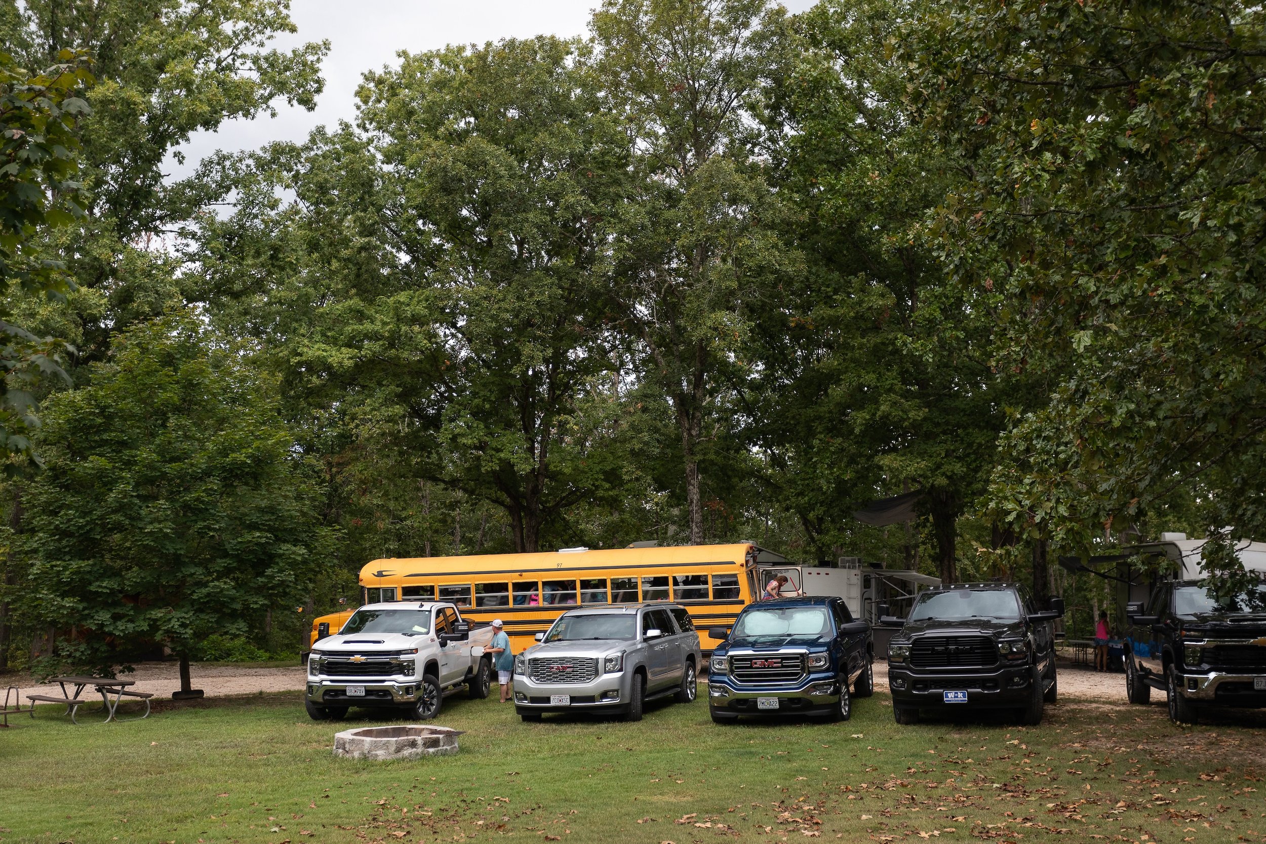
Located 5 miles from the Current River, we offer a small campground with 12 RV sites and tent camping. Our store has snacks, gas, ice, wood, and more. Enjoy a relaxing nature getaway!
Book.
Looking to book a relaxing getaway in nature? Look no further than Running River Campground! With 12 RV sites offering full hookups and ample space for tent camping, we have the perfect accommodations for your outdoor adventure. Book your stay with us now for a memorable camping experience!
All active and retired military will receive a 10% discount on camping rates.
$30/night for full RV hookups
$10 per person, per night, for tent camping, with an additional $10/night for electric.
Childen 12 and under are $5/night for tent camping.


Welcome!
Escape to nature at Running River Campground, where you can enjoy the great outdoors with 12 RV sites offering full hookups and tent camping options. Our on-site store is stocked with snacks, gas, ice, wood, and more for your convenience. Just 5 miles away from the Current River, Running River Campground is the perfect destination for your next outdoor adventure.
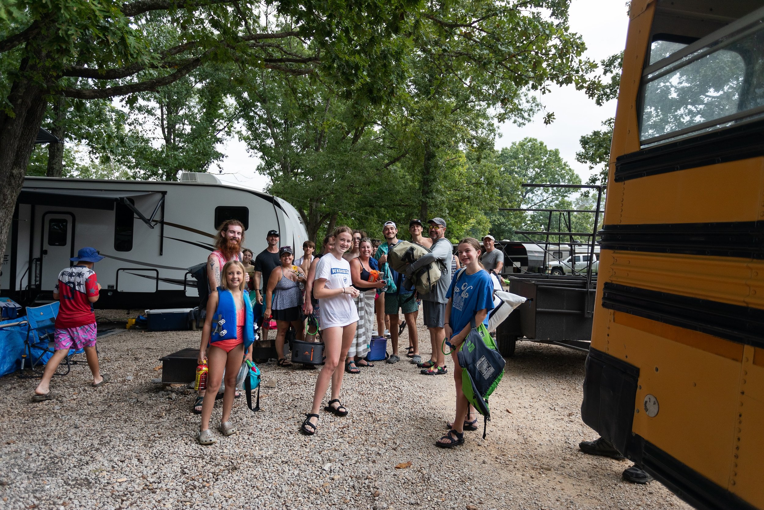
Discover the perfect family getaway at Running River Campground under new management. Our family-oriented campground offers a fun-filled experience for all ages, surrounded by the beauty of the great outdoors.
Settle in at one of our 12 RV sites with full hookups or opt for a traditional tent camping experience. Embrace the adventure with hiking trails, explore the nearby river, or simply relax and enjoy the tranquility of nature.
Located just 5 miles from the Current River, Running River Campground provides easy access to water activities and local attractions. Our on-site store is stocked with snacks, gas, ice, wood, and more to enhance your camping experience.
Come create unforgettable memories with your loved ones at Running River Campground, where family fun meets the great outdoors.

Plan Your Visit to Running River Campground
Outdoor Activities
ATV: Explore the nearby trails with your ATV for an exciting adventure.
Floating: Enjoy a relaxing float down the Current River, located just 5 miles away.
Hiking: Embark on scenic hiking trails surrounding the campground for a nature-filled experience.
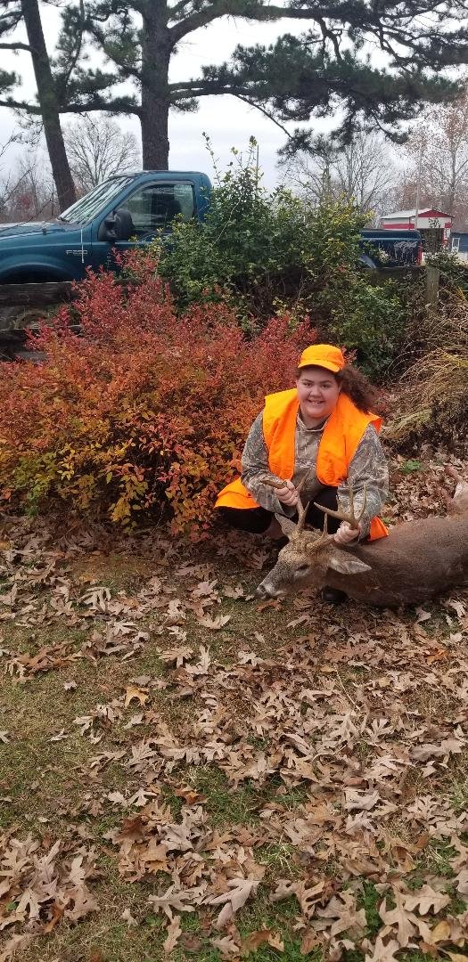
Hunting: We are surrounded by thousands of acers of public use hunting land.
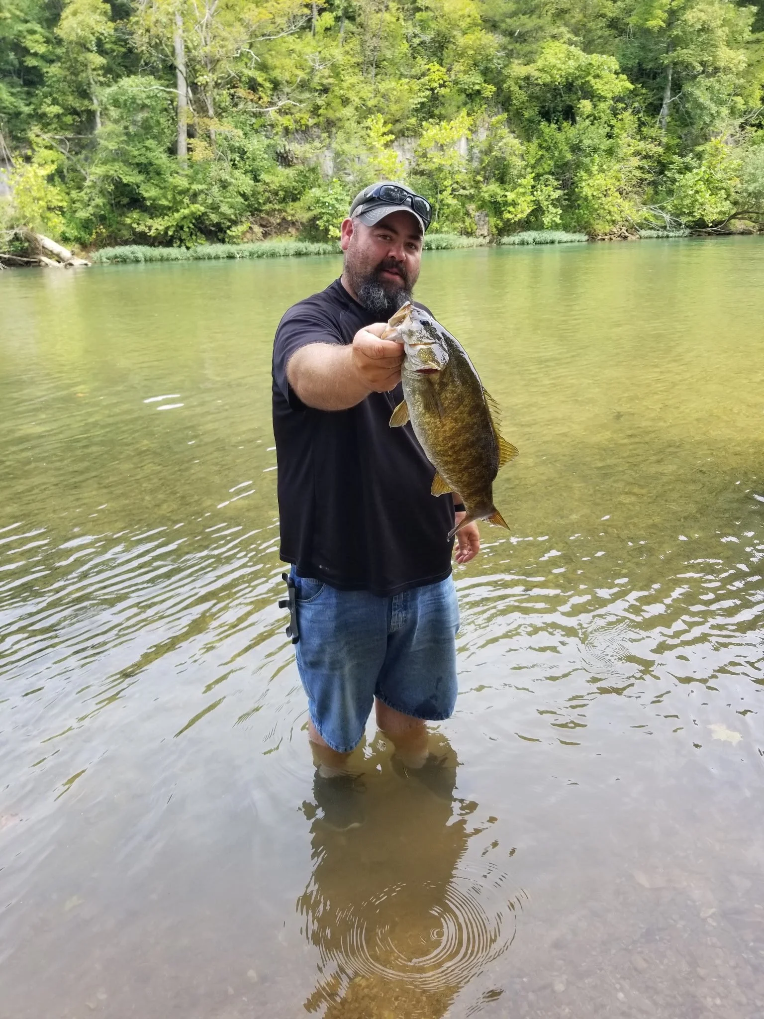
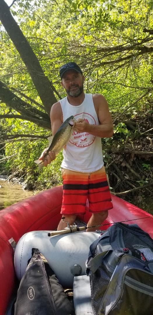
Fishing: Challenge yourself to some of the Ozarks toughest fishing with crystal clear waters for trout or smallmouth bass.
Local Attractions
Current River: Spend a day by the Current River, perfect for fishing or simply unwinding by the water.
Ozark National Scenic Riverways: Explore the first national park area to protect a river system for outdoor activities and stunning landscapes.
Mark Twain National Forest: Discover the beauty of the forest with opportunities for hiking, wildlife viewing, and more.
Prepare for a memorable outdoor getaway at Running River Campground!
Plan.

Local Events
To be announced.

Explore.
-
Carr's Canoe Rental
Carr's Canoe Rental offers canoe, kayak, raft and tube rentals on the upper Current River. Discover the extraordinary beauty of the Ozarks while fishing, camping, floating and site seeing. We carry an assortment of t-shirts, hats, river toys, firewood, snacks and drinks for sale in our store. We also carry many last-minute items like sun block, towels and ice.
-
Current River Canoe Rental
Current River Canoe Rental offers canoe, kayak, raft and tube trips on Missouri's beautiful Current River.
We are located at Pulltite Campground,
just off scenic Highway 19 in Missouri!
-
Silver Arrow Canoe Rental
Silver Arrow Canoe Rental is authorized within Ozark National Scenic Riverways to provide canoe, kayak, raft and tube rental with shuttle service.
-
Running River Canoe Rental
We offer canoe, kayak and raft trips on the nationally famous Current River, located in the Ozark Mountains of south central Missouri, three hours southwest of St. Louis.
-
Ozark Riverways Foundation
Discover the heart of America's first national park area dedicated to river conservation, where the pristine beauty of the Current and Jacks Fork rivers flow. The Ozark Riverways Foundation, in partnership with the National Park Service, is a beacon for those drawn to the splendor of the Ozark National Scenic Riverways. From the adventurous people canoeing its clear, spring-fed waters to the families enjoying the tranquility of its lush landscapes, this place calls to all who seek to preserve its beauty.
-
Missouri Stream Team
Missouri has 110,000 miles of streams that provide recreation, drinking water and serenity for ourselves and our children, but they need your help. Stream Teams are made up of people with an interest in, and passion for, Missouri streams. If you are already a Stream Team, this website will provide a wealth of information on organizing your Team, participating in a variety of activities, and communicating with other Stream Teams all across the Show-Me state and beyond. If you are thinking about forming a Stream Team, we have information on that, too. Exploring the Stream Team website will show you how citizens have adopted a stream, volunteered their own time and effort to improve it, and have banded together with other Stream Teams to help improve Missouri’s streams.
-
Ozark National Scenic Riverways
Ozark National Scenic Riverways is the first national park area to protect a river system. The Current and Jacks Fork rivers are two of the finest floating rivers found anywhere. Spring-fed, cold and clear: they are a delight to canoe, swim, boat, or fish. Besides these two famous rivers, the park is home to hundreds of freshwater springs, caves, trails, and historic sites such as Alley Mill.
-
Alley Spring
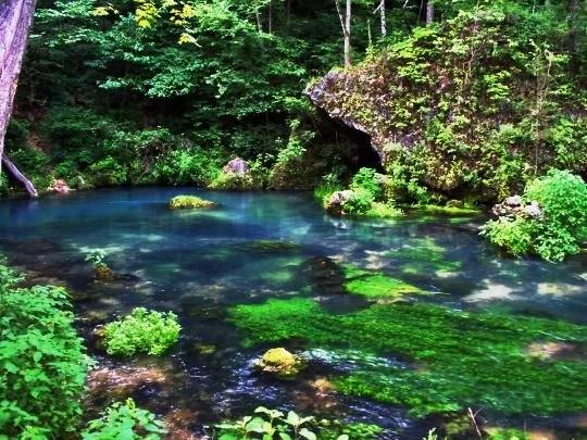
With its beautiful turquoise water, Alley Spring has a 100 year old grist mill which you can tour. The mill is open daily from 9:00 a.m. to 4:00 p.m. from Memorial Day through Labor Day. Stop in for an up close look at one of the Ozarks’ most famous landmarks. There is no charge, but donations help offset operating costs. Located six miles west of Eminence, Missouri, on State Highway 106. Books and postcards may be purchased at the mill. The mill machinery is no longer operational, although restoration efforts are underway.
-
Big Spring
This is the largest spring in Missouri and the largest freshwater spring in the United States. On an average day, around 278 million gallons of water gush forth from subterranean passages, swelling the nearby Current River. Experiments in which harmless dye is placed into the ground have shown that water travels from as far as 45 miles away through underground passages before surfacing at Big Spring.
-
Blue Spring
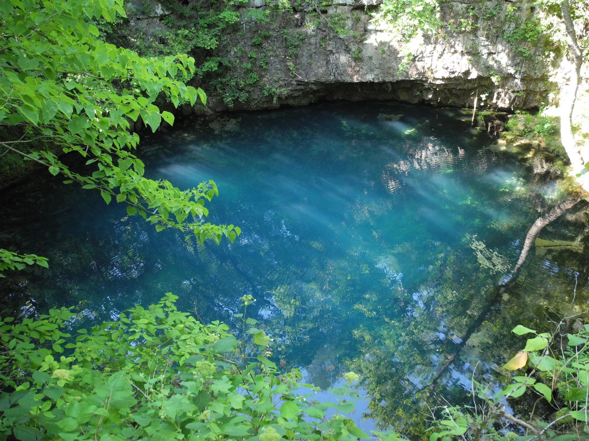
This is one of Missouri’s deepest springs and is located approximately 12 miles east of Eminence on Highway 106. The spring flows slowly from a very deep cave shaft that is situated at the base of a dolomite bluff.
-
Pulltite Spring
This spring is located close to Pulltite campground, about 14 miles north of Eminence off of highway EE. The spring branch carries a daily flow of 38 million gallons from Pulltite Spring into the Current River. The spring flows from the rock structures at the bottom of a cliff forming a small pool. Pulltite Spring gained its name from the “tight pull” of the horse drawn teams down a steep hill next to the mills that were positioned on the spring-branch. The spring was purchased by St Louis businessmen in 1911 and was run as a fishing resort, until the area was acquired by the National Park Service in 1967.
-
Round Spring & Round Spring Cave
The Round Spring area is home to a family campground, picnic area, cave, and the spring from which it takes its name. Round Spring was a Missouri State Park from 1924 until 1970, when it was donated to the National Park Service.
ROUND SPRING CAVE - In summer, park rangers lead 60-90 minute lantern tours of this beautiful natural cavern! These somewhat strenuous "underground hikes" explore the amazing world beneath our feet. Topics include geology, hydrology, karst topography, cave wildlife, history, and more!
The cave can only be visited during a guided tour, and a ticket is required to tour the cave.
-
Rocky Falls
Few places in the Ozarks provide a glimpse of earth’s turbulent past as well as Rocky Falls. The reddish-brown rock you see here is rhyolite porphyry. It formed as molten rock deep within the earth and flowed onto the surface about 1.5 billion years ago. At the time, no living thing existed to see the awesome flow of glowing hot lava slowly advancing over the barren landscape. Normally, a stream eroding softer dolomite, a type of limestone, would make a wider valley for itself. Since the rhyolite is harder, the stream tends to stay within whatever cracks that it finds, deepening them only a little by erosion. Thus a“shut in” is formed where the harder rock has “shut in” the stream. Farther downstream, past the constricting rhyolite, the stream valley widens once again. This allows the stream to expand into a pool.
-
Welch Spring
Over the years, Ozark springs have been used as campsites, power supplies for grist mills, tourist resorts and even hospitals.
Hospitals? Yes, hospitals. Back in 1913, an Illinois doctor named C.H. Diehl bought Welch Spring for eight hundred dollars. Dr Diehl believed that the spring water had healing properties and that cool, pollen free air coming from the adjacent cave would be beneficial for people with asthma, emphysema, and tuberculosis, which together were called "consumption" at the time. He said that it worked for him, helping him with a chronic case of hayfever. To tap this clean air resource, Dr Diehl built a hospital over the mouth of the cave. Welch Spring, which flows from the cave, was dammed up so that water would close off the entrance. This was to force more air out through the cave opening into the hospital. In today's terms, it might be better called a "health spa" since there wasn't much in the way of formal medical treatment, just an invitation to breathe the fresh air of the cave.
-
Story's Creek School
A visit to Storys Creek School on the grounds of the Alley Mill allows a glimpse of a time gone by. The little white, one room school house is an image of pioneer education near and dear to most Americans. It exemplifies a simpler time, a time when life was less stressful and education more effective. Unfortunately, like many such romantic images, the truth is both greater and less than our imaginings.
-
Cave Spring
4.6 mile loop trail. This trail is moderate but long with short stretches classed as difficult as the trail climbs over the cliff presenting a challenging 'scramble'. Follow signs on KK east of Akers where a gravel access road leads to Devils Well (an ancient sinkhole at the bottom of which lies an underground lake the size of a football field).The loop trail, beginning at the Devils Well traverses oak-pine forest ridges, a limestone glade, winds through hollows and crosses intermittent streams as it brings hikers down to the mouth of Cave Spring on the Current River. The 'Cliff' segment of this loop trail traverses the side of a high limestone bluff overlooking the Current River with spectacular views, then returns to Devils Well via Parker Hollow alongside an intermittent stream bed
-
Devils Well
Located off Route KK near Akers, this unusual "karst window" allows a look at the earth's plumbing. Devils Well was formed when the roof of a huge cavern, containing an underground lake, collapsed. The result was large sinkhole, with an opening in the bottom through which you can view the lake. The water level is about 100 feet below the platform, and the lake may be as much as 80 feet deep. (It can fluctuate 8 to 10 feet depending on the weather.)
-
Jam Up Cave
Jam Up Cave is located on the Jacks Fork River between Rymers and Blue Spring. Jam Up is a spectacular cave, but can only be reached by boat. The high entrance is about 80 feet high and 100 feet wide. Much of the cave is filled with water, and there is a small underground waterfall. There is a natural skylight that provides some light to the inside. Ceiling breakdowns have occurred in the recent past, caves are constantly changing.
-
Dairy Shack
The Dairy Shack has been a staple in the little community of Eminence, and Shannon County as a whole since 1968. Starting out we were known as the Dairy Isle, which was a franchised business. Once the franchise dissolved our name was changed to the Dairy Hut and then in 1997 became what we are known as today, The Dairy Shack!
-
Experience Eminence
Come see the beauty of the Ozark Region! From springs and forests, to beautiful Jack’s Fork River and nearby Current River, there’s no shortage of activities to enjoy.
-
Catch the Current
Salem Area Chamber of Commerce
-
Jack's Fork River Resort
Located in the heart of the Missouri Ozarks on the scenic Jack’s Fork River, our premium cabins are sure to provide a relaxing getaway for you and your family.
-
Shannondale Community Center
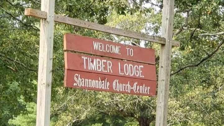
Description goes hereReligious Center, Community Center, Tree Farm, Craft Center, Lodging, Camps, Retreat Space, and Outdoor Programs
FAQ’s
-
You can make reservations in advance to extend your stay for longer stays. Call ahead to learn more.
-
We carry a variety of different basic necessities such as: disposable cutlery, paper plates, milk, eggs, cheese, lunch meat, toothbrushes and toothpaste, over the counter medication, fishing poles, tackle, hunting supplies, knives, ammunition, water guns, and toys, alcoholic beverages, soda, water, and a wide variety of chips, snack cakes, hammocks, water shoes, hats and T-shirts, and much more.
-
We have 12 full RV hookups that have a 50 amp, 30 amp, and 110 v receptacle.
In addition we have 110 volt electric tent sights for reservation also.